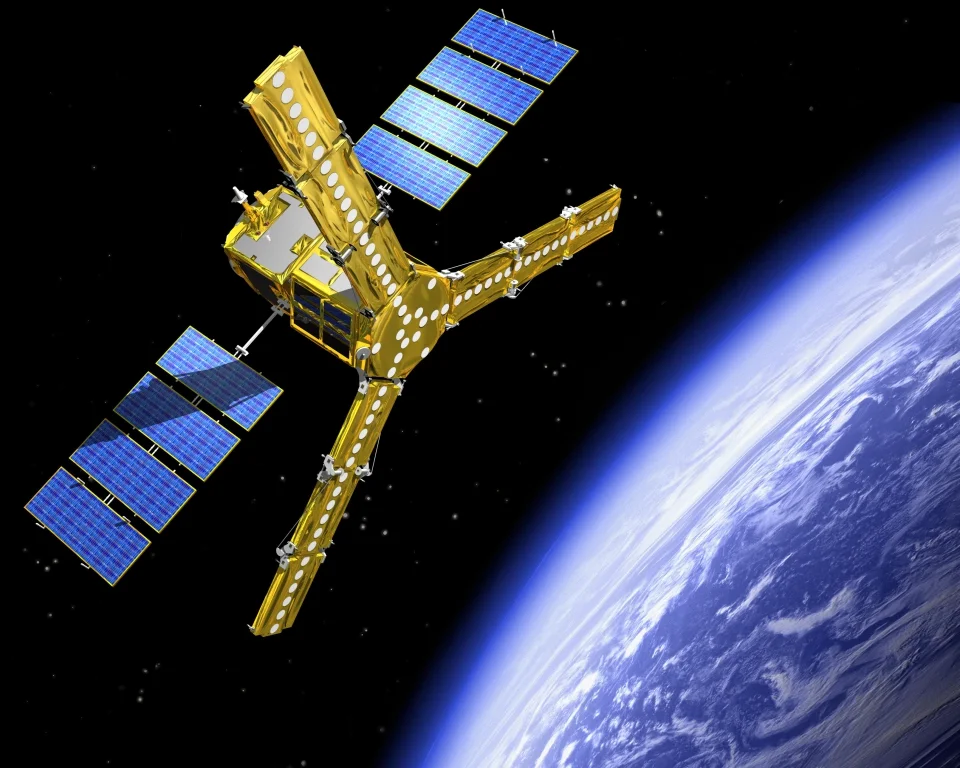
SMOS


Providing data on land humidity and ocean salinity (ESA)

The Soil Moisture and Ocean Salinity (SMOS) satellite is a European Space Agency (ESA) mission launched in 2009 that aims to make global observations of terrestrial soil moisture and ocean salinity. These two important components of the water cycle are key to understanding the exchange processes between the Earth's surface and the atmosphere, helping to improve weather and climate models.
The satellite carries the Microwave Imaging Radiometer by Aperture Synthesis (MIRAS) instrument, an interferometric radiometer operating in the L-band (microwave range) to capture images of the 'brightness temperature'. These images are used to obtain global soil moisture maps every three days, achieving an accuracy of 4% at a spatial resolution of about 50 km. Over the oceans, SMOS maps salinity down to 0.1 practical salinity units (psu, averaged over 10 to 30 days over 200 × 200 km areas).
Going well beyond its original scientific purpose, SMOS helps improve weather forecasting and contributes to climate research, as well as to a growing number of new use case applications, such as providing information to measure thin ice floating in polar seas with sufficient accuracy for forecasting and ship routing.
THE IEEC CONTRIBUTION
The IEEC participates in SMOS through the Barcelona Expert Center (BEC), a joint initiative between CSIC and the Universitat Politècnica de Catalunya · BarcelonaTech (UPC), to support Catalan activities related to the SMOS satellite. Since the launch of the satellite in November 2009, the SMOS-BEC researchers have been working to improve the processing of data measurements to increase the quality and achieve the proposed mission objectives. This includes instrument calibration systems (microwave interferometric radiometer), image reconstruction correction methods (low-level processing), and algorithms to transform radiometric measurements into ocean salinity values.
